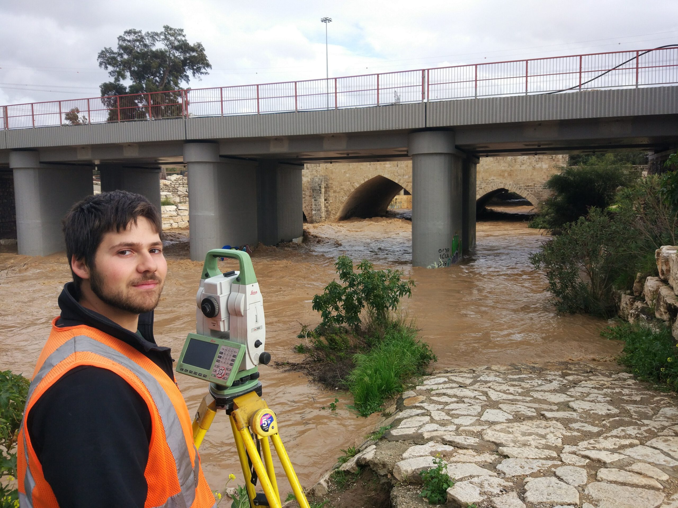
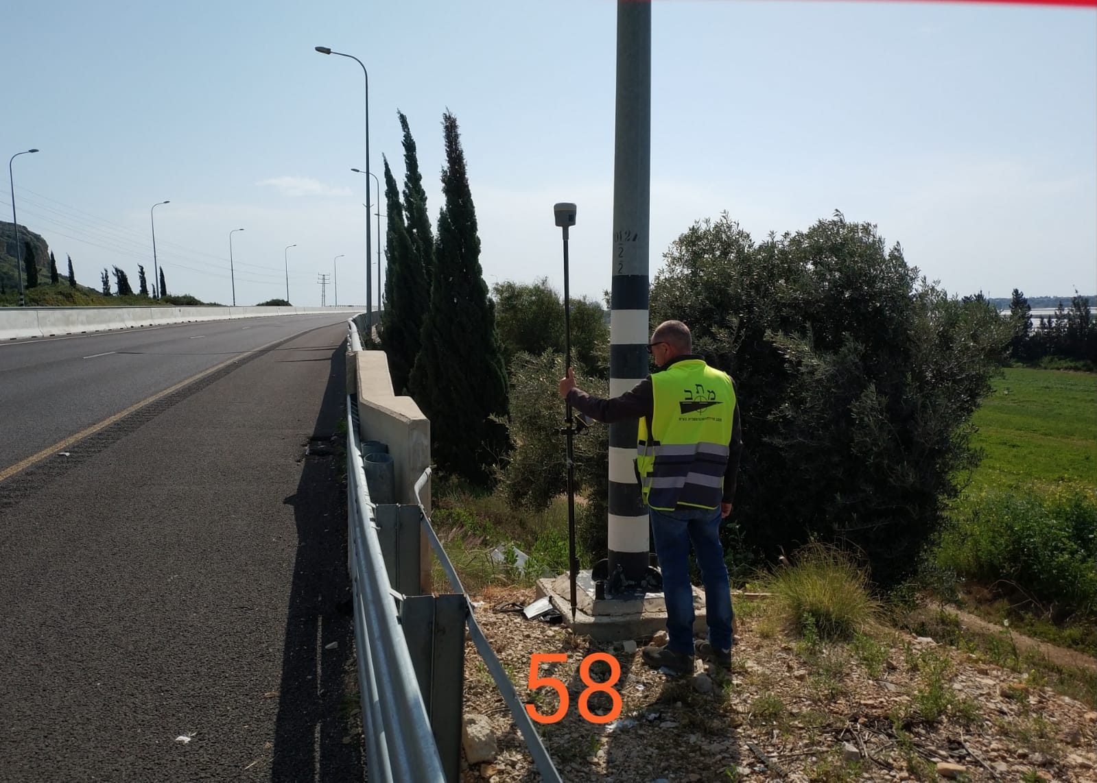
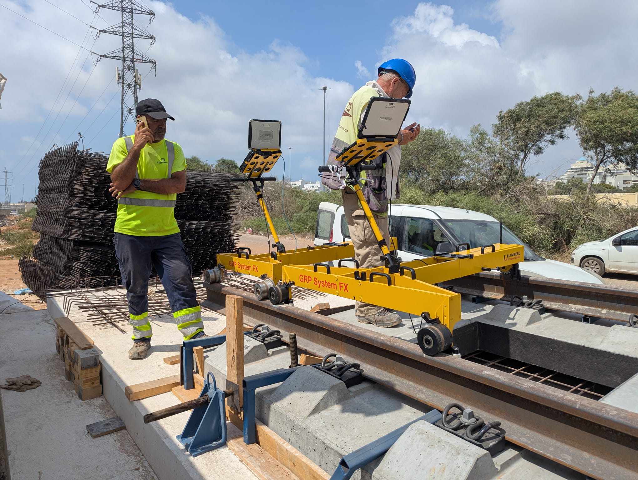
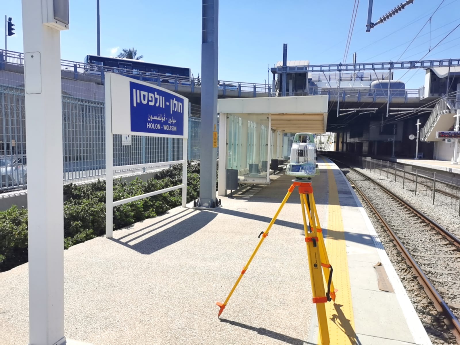
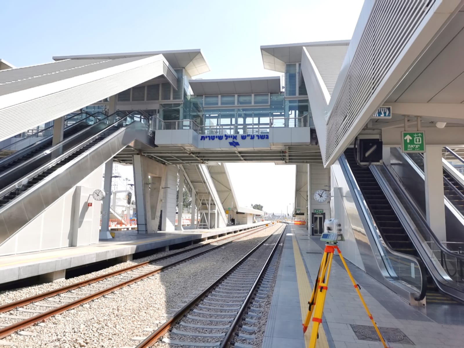
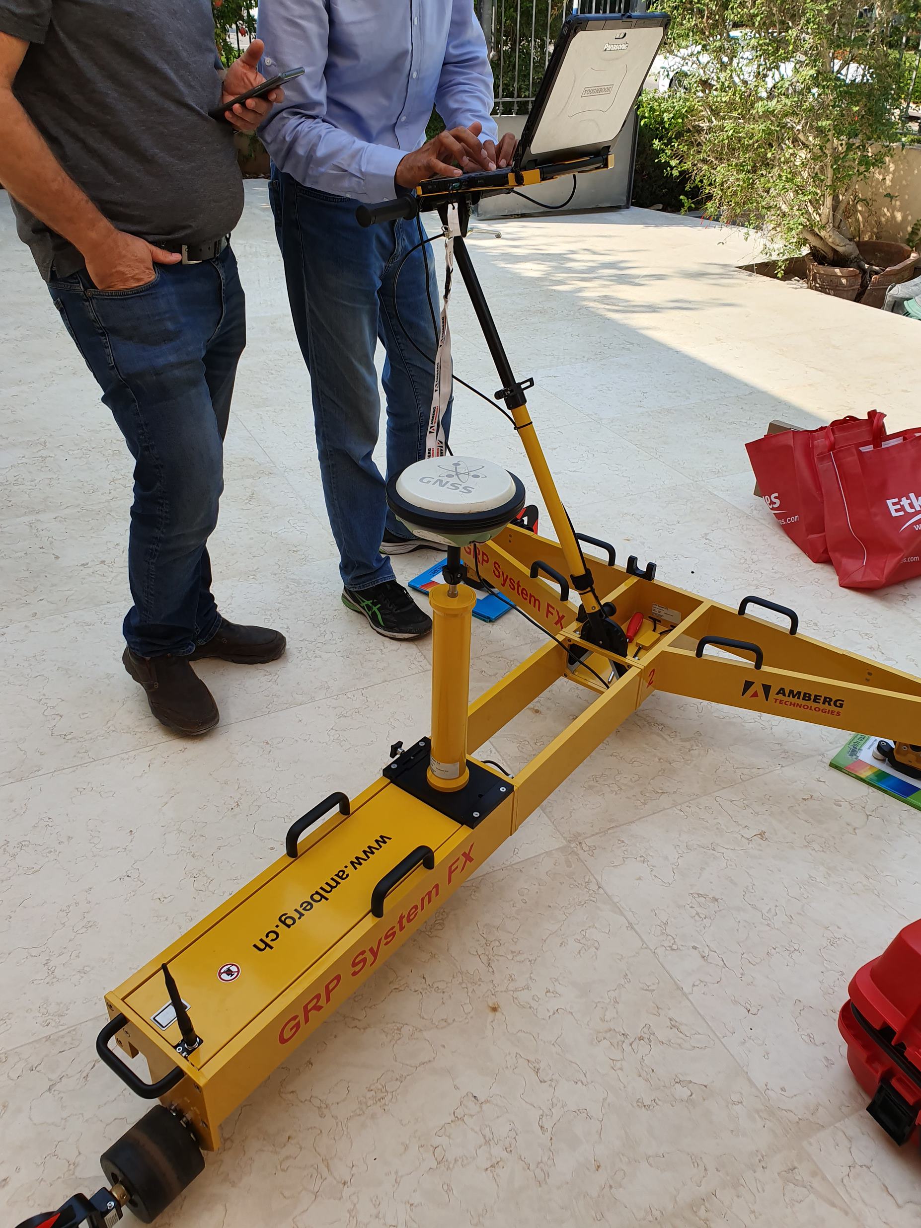
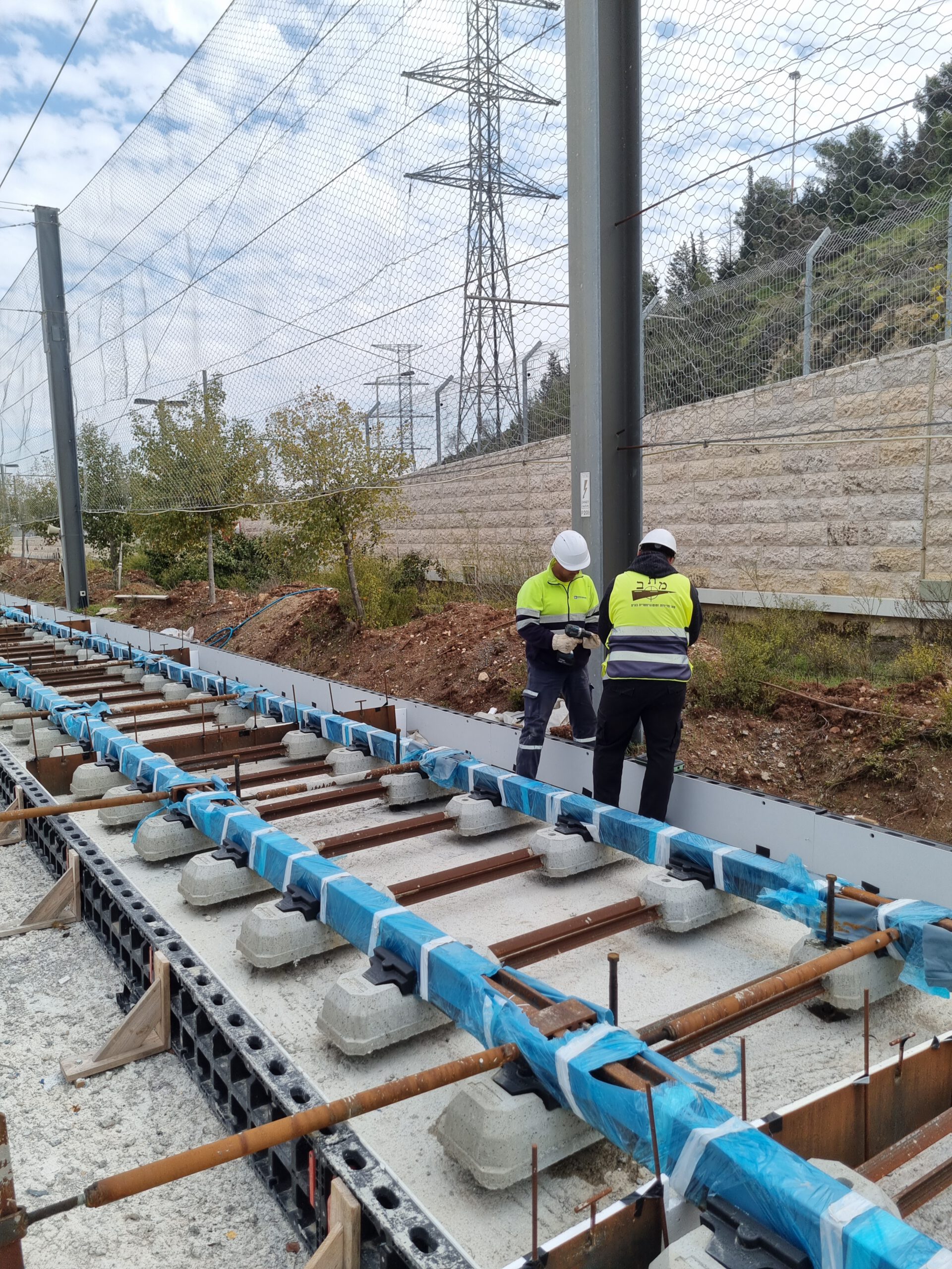
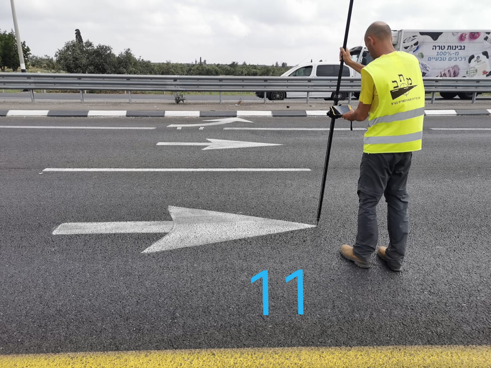
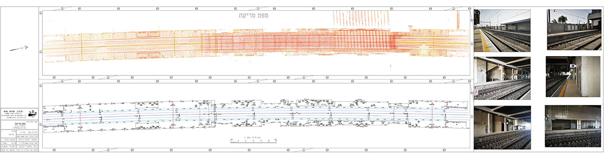
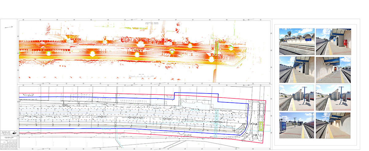
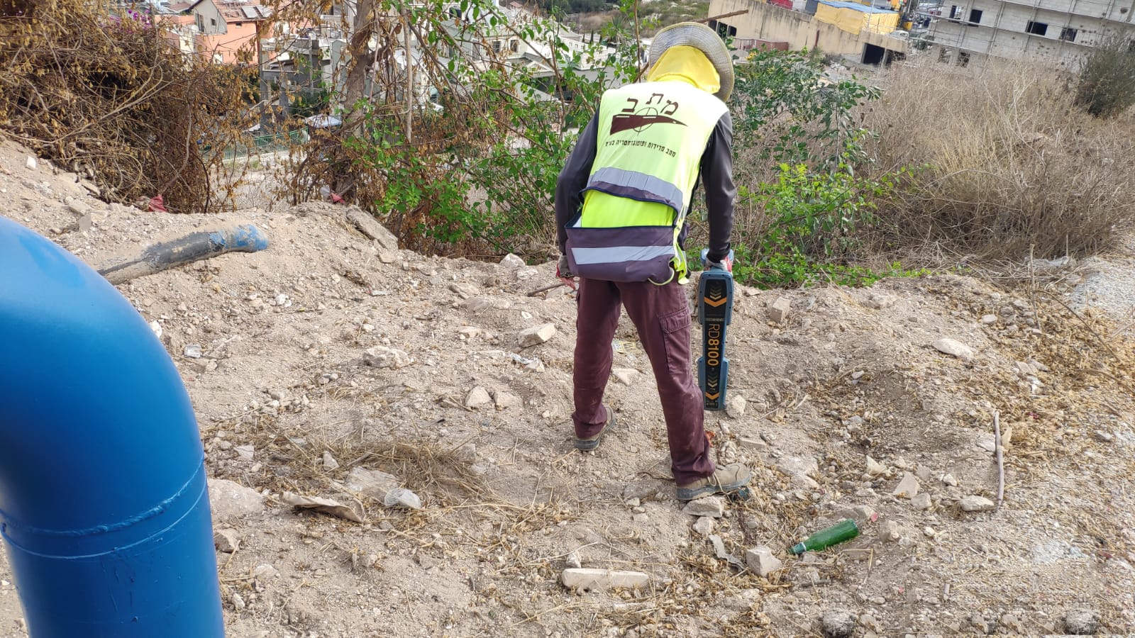
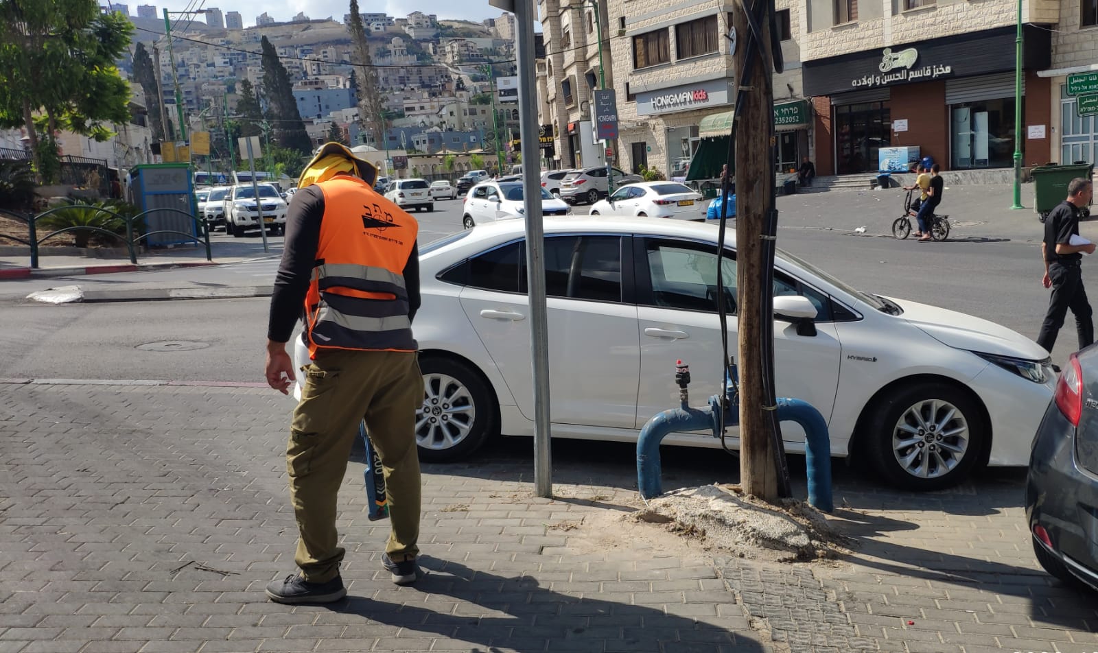
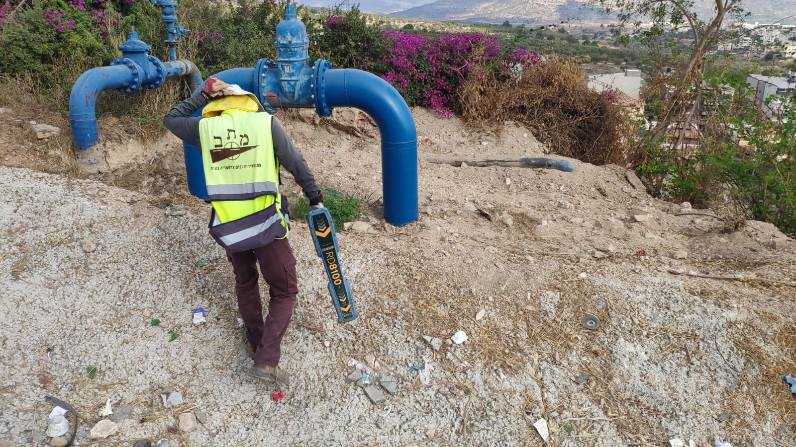
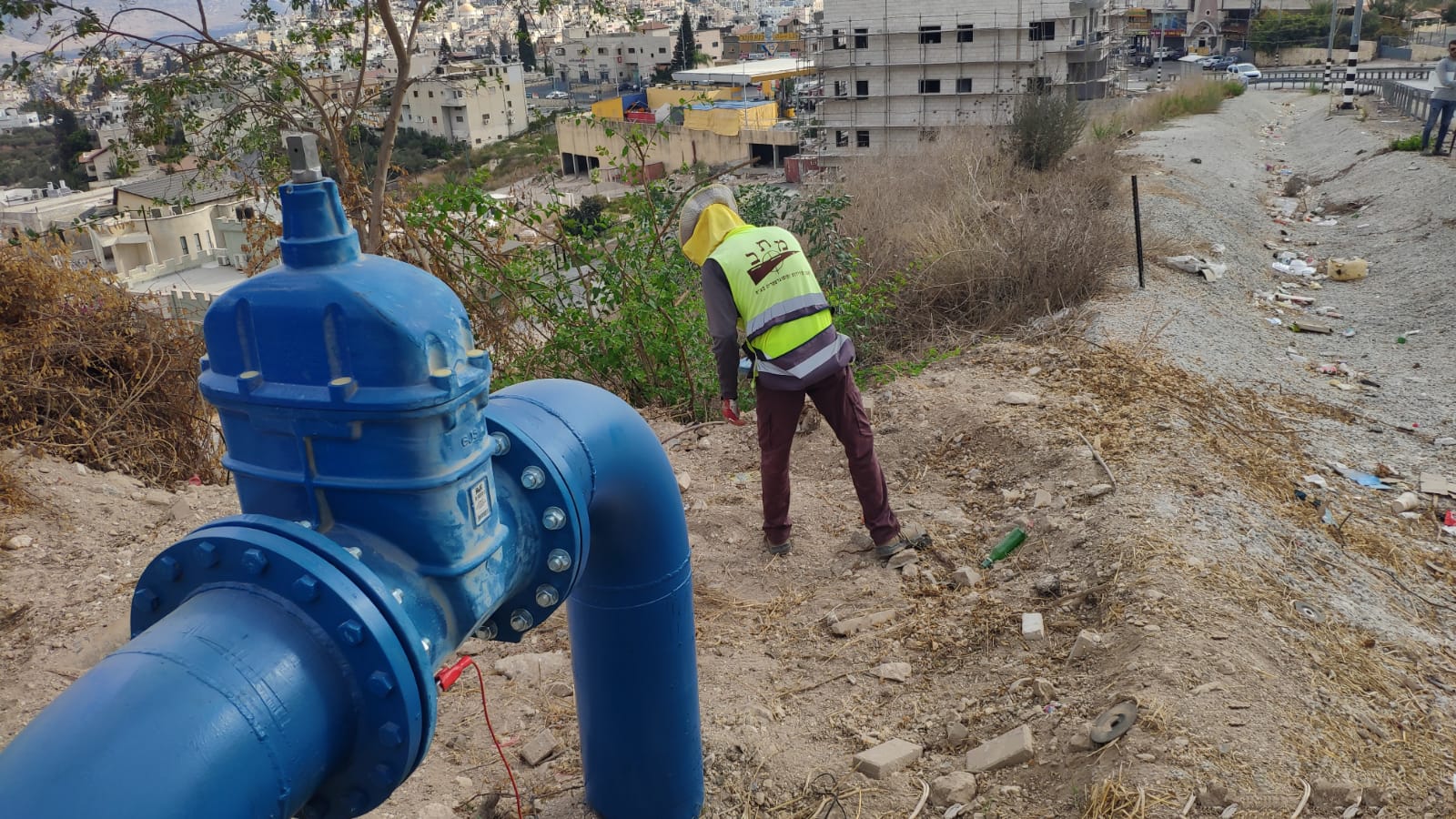
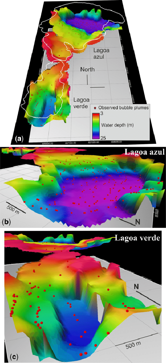
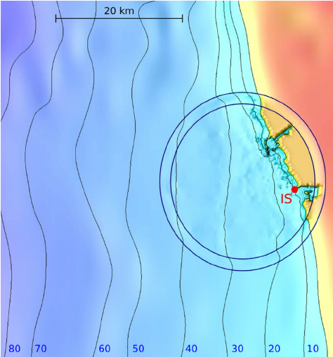
Traditional land survey and measurement, construction plans, satellite measurement registration, precise analytical balance, measurements to perform roads and railways, photogrammetry measurements performed by aerial photography and recently by UAVs Scans and Imaging Department – the products are provided to clients in BIM form. Locating subterranean infrastructure via detection, physical discovery, earth removal. Marine surveys, bathymetry, underwater topographic mapping precise marking of gas and oil drilling sites.
