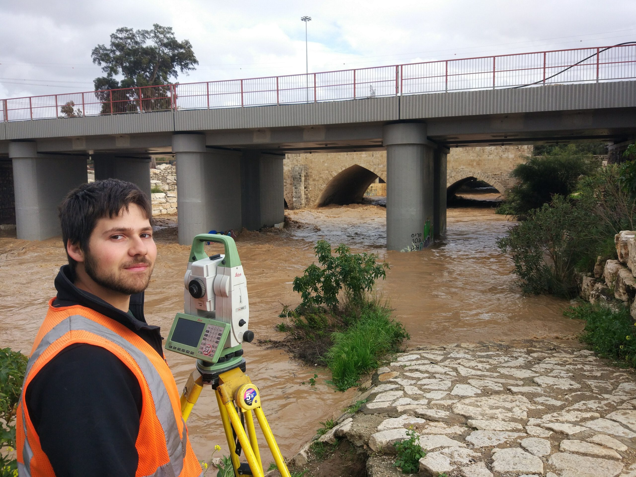
The company today is one of the largest, most professional survey companies in Israel, a family company in which the first- and second-generation work in tandem. The company stands prepared to provide land survey, photogrammetry, scans and imaging, BIM measurements, infrastructure location and oceanic survey solutions.
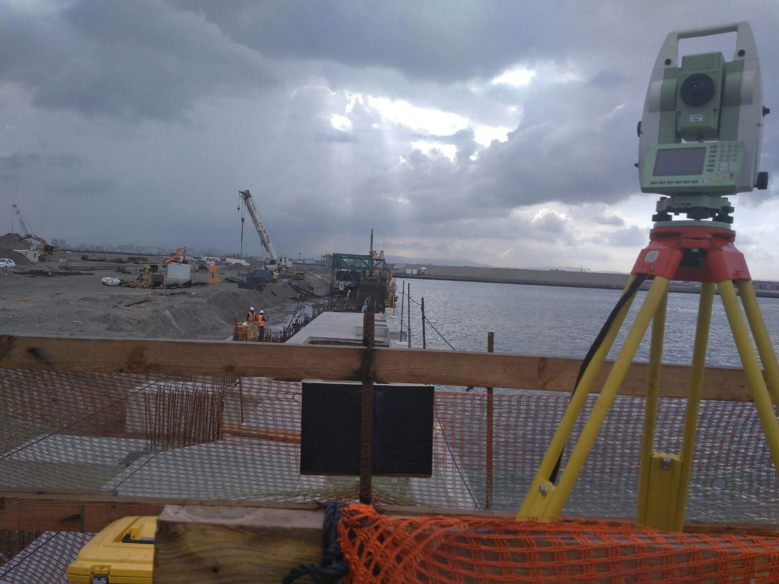
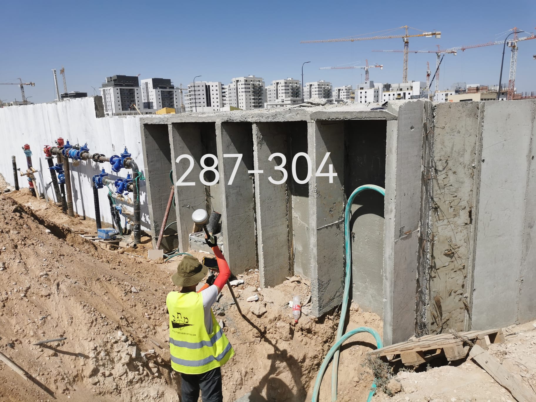
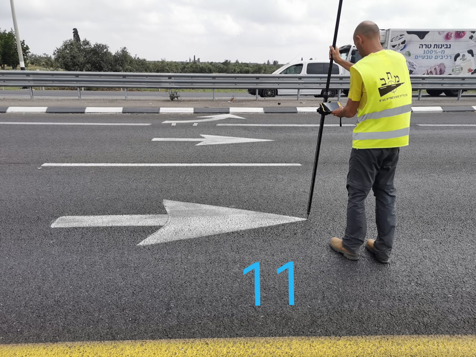
– Measurements for property tax, municipal fee and surface area calculation purposes. – Monitoring and performance measurements in many Israel Rail LTD projects. – Measurements to plan the route of communication, lighting and electricity lines. – Road, parking lot, infrastructure (drainage, system coordination and so forth) and traffic routing planning. – Measurements to design expansion and rehabilitation of existing roads. – Rapid and widescale computerized topographical measurements. – Surveys to plan expansion and rehabilitation of existing roads. – Computerized, rapid and large scale topographical surveys. – S.P.G based geodesic systems – S.I.G. solutions incorporated in accepted programs such as AutoCAD – Solutions for precise analytical balance associated problems (precision of up to +-0.1 mm). – Survey services to plan and perform roads and earth work. – Plans for registration purposes including accompaniment of the measurement process in the Land Registry Office – Bathymetric surveys – Tunnel routing. – Photogrammetry services. – Measurements utilizing Multirotor drones and BIM model production. – Interior surveys and schematic production utilizing scanners.